The « ExtraTrail » concept
ExtraTrail: a tangible response to a real demand
Offering a solid infrastructure, allowing the Trail to be run in a safe way, through carefully selected paths, while strengthening its attractiveness to tourists throughout a region, is what ExtraTrail is proposing.
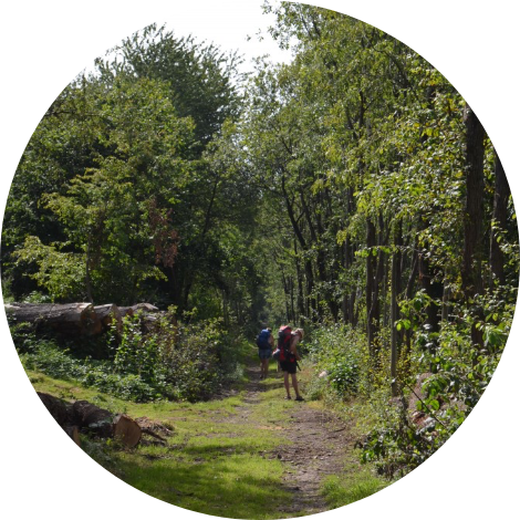
On the same principle as the health or Vita paths created almost 40 years ago to respond to the needs of the time, ExtraTrail positions itself as a network of Nature Trail paths, starting at the Tourist Offices of the cities and municipalities.
Arrow-marked routes of different length (5 – 10 – 20 – 30 – 40 and 157 km), available to everyone, are accessible for free. The only conditions: use them on foot, perfectly respecting wildlife and plantlife.
ExtraTrail’s own markings are provided. A specific design allows each marking to be easily identified in the natural setting. The markings indicate the route or routes on which the runner finds themselves, via a colour code used for each distance. They can also identify the logo of the municipality in question by the path used there. A small arrow gives the direction to follow.
The trail-runner also finds an email address there, to highlight any comment regarding the route (absence of markings, fallen tree, impassable path, etc.).
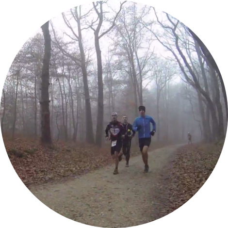
Adapted technologies
The use of social networks allows Trail-runners to share their path times and to comment on their experience, thus offering points of reference to the community in terms of performance and assessment.
Routes developed based on geographical-positioning software allows path maps to be downloaded, and to locate your own progression, using a Smartphone or a watch equipped with GPS.
You can see all of this information on the ExtraTrail.com website, offered in 4 languages: French, Dutch, English and German.